AIS Full Target Report
Collision of Tides / Covert Briefing
Automatic Identification System
AIS is the digital VHF traffic picture behind names, positions, courses, safety alerts and suspicious gaps in the official record. Open the simulator for a fictional training-style chart, then move into the guide for the full explanation of how AIS works and where it can fail.
What AIS Actually Does
Automatic Identification System, usually shortened to AIS, allows equipped stations to broadcast short digital messages containing identity, position, movement and safety-related information. A ship can repeatedly say, in effect: this is my MMSI, this is my name, this is where I am, this is my course over ground, this is my speed over ground, this is my heading, and this is the navigational status I am declaring.
Other AIS-equipped vessels receive those messages automatically. Shore stations receive them. Vessel Traffic Services may receive them. Search and rescue aircraft and satellites may also receive AIS in the right circumstances. The result is a moving traffic picture that can be shown on an ECDIS, radar overlay, integrated bridge display, chartplotter, pilot tablet or authority monitoring system.
The key point is that AIS adds identity and declared movement to the marine picture. Radar may show an anonymous echo. AIS can show a named vessel, a Maritime Mobile Service Identity, a course, a speed and a predicted closest point of approach. That makes bridge communication faster and gives investigators a valuable timeline, but it does not make AIS infallible.
AIS Is Not Radar
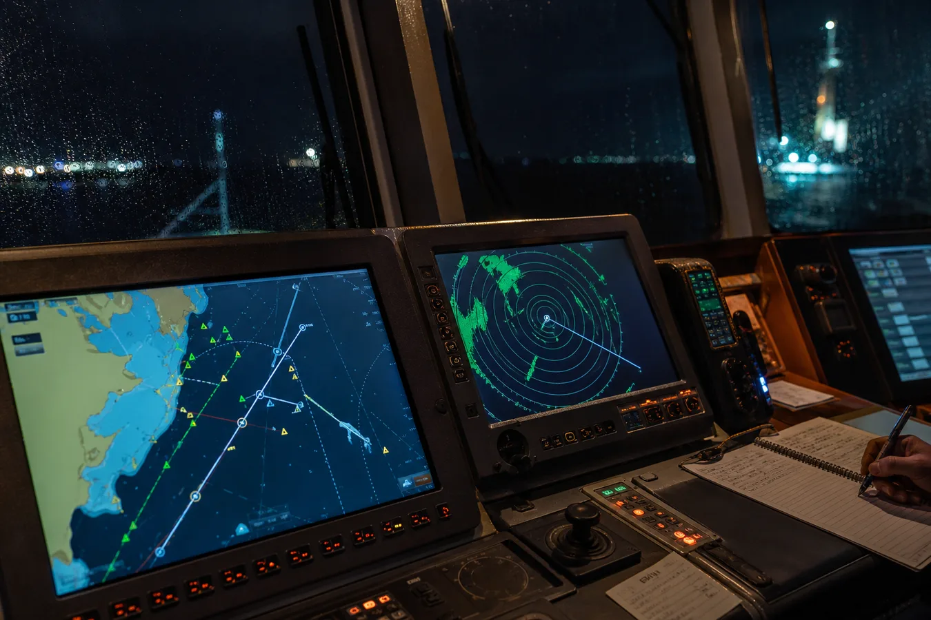
This distinction matters. Radar is non-cooperative: your set transmits microwave energy and detects reflections from physical objects. The other vessel does not need to help you. AIS is cooperative: you see the target because a transmitter sends a message saying it is there.
| Radar | AIS |
|---|---|
| Detects physical returns from ships, land, buoys, rain and other objects. | Receives digital AIS messages from equipped and transmitting stations. |
| Can show a vessel even if that vessel has no AIS or has stopped transmitting. | Normally depends on the target having working AIS, correct setup and usable reception. |
| Gives range and bearing from your own sensor picture. | Relies heavily on the target's transmitted position and data fields. |
| May suffer from sea clutter, rain clutter, shadow sectors and poor settings. | May suffer from wrong data entry, missing reports, spoofing, filtering or transmission gaps. |
Professional navigation therefore uses all available means appropriate to the circumstances. UK MCA guidance treats electronic systems as navigational aids and warns against over-reliance on a single source. AIS can improve situational awareness, but it must not be treated as a standalone collision avoidance answer.
How The Radio Network Works
AIS works over dedicated marine VHF channels. The two principal AIS channels are AIS 1 at 161.975 MHz and AIS 2 at 162.025 MHz. Instead of every ship speaking continuously, AIS uses time division multiple access. Each minute is divided into small radio time slots. Stations transmit short messages in those slots, allowing large numbers of vessels and shore stations to share the data link.
The current ITU technical recommendation is ITU-R M.1371-6, approved on 19 February 2026. It defines technical characteristics for VHF AIS using TDMA in the maritime mobile service. In plain English, the standard describes how the messages, timing, access methods and station types coexist on the same AIS data link.
GNSS / Time
Gyro / Heading
Speed / ROT
AIS Transponder
VHF Antenna
ECDIS / Radar
Shore / VTS
Satellite AIS
SOTDMA, CSTDMA And Other Access Methods
The clever part of AIS is how stations organise access to the radio channel. Large commercial vessels using Class A AIS normally use SOTDMA, or Self-Organising Time Division Multiple Access. The AIS listens to the network, identifies which slots are being used, selects suitable slots and announces future slot use so nearby stations can organise around it.
Some Class B equipment uses CSTDMA, or Carrier Sense Time Division Multiple Access. This is closer to listening first and transmitting when the channel appears clear. It can work well for smaller craft, but it has less priority and lower performance in congested traffic compared with SOTDMA. Other AIS access methods include RATDMA for random access, ITDMA for initial access and changes, FATDMA for fixed allocations, and longer-range mechanisms used in satellite contexts.
What AIS Broadcasts
Movement Data
Position, time, speed over ground, course over ground, true heading, rate of turn, position accuracy and navigation status.
Identity Data
MMSI, IMO number where applicable, call sign, ship name, vessel type, dimensions and the position reference point on the hull.
Declared Intention
Destination, estimated arrival, draught and related voyage fields. Several fields depend on correct crew entry.
The Different Types Of AIS
Class A and Class B are only part of the system. AIS also includes shore base stations, AIS aids to navigation, search and rescue transmitters, man-overboard devices, SAR aircraft reports, inland AIS variants and satellite reception. The table below gives a practical reader-level comparison.
| AIS Type | Typical Use | Important Detail |
|---|---|---|
| Class A | SOLAS and larger commercial vessels. | Higher power, frequent reports, SOTDMA, dynamic, static and voyage-related data. |
| Class B/SO | Smaller commercial craft, yachts and vessels wanting stronger Class B performance. | SOTDMA Class B equipment, often marketed as Class B+ by manufacturers. |
| Class B/CS | Leisure craft and smaller vessels. | CSTDMA, lower power and slower reporting than Class A or Class B/SO. |
| AIS receiver | Listening-only installations. | Receives other targets but does not make your vessel visible through AIS. |
| Base station | Coastguard, port and vessel traffic service infrastructure. | Supports monitoring, channel management, safety messages and traffic awareness. |
| AIS AtoN | Buoys, beacons, lighthouses, wreck marks and temporary hazards. | Can be real, synthetic or virtual, including an electronic mark where no physical buoy exists. |
| AIS-SART / MOB | Emergency location and survivor recovery. | Broadcasts distress-related position information to nearby AIS-equipped receivers. |
| SAR aircraft AIS | Search and rescue aircraft. | Allows aircraft position reports and wider reception due to altitude. |
| Satellite AIS | Wide-area vessel tracking beyond coastal VHF range. | Receives AIS from orbit but can suffer from slot collisions, delay, coverage and filtering limits. |
| Inland AIS | European inland waterways. | Builds on AIS principles with inland-specific information for rivers, locks, convoys and waterway services. |
AIS, CPA And TCPA
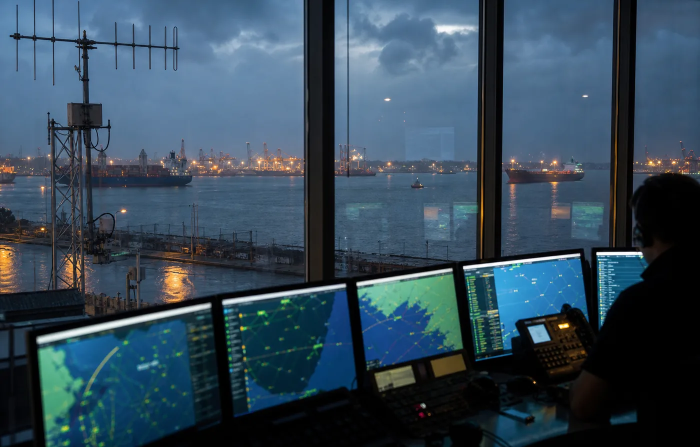
Once a display knows your vessel's position and velocity and a target's position and velocity, it can calculate CPA, or Closest Point of Approach, and TCPA, or Time to Closest Point of Approach. These are predictions, not guarantees. If either vessel alters course or speed, the prediction changes. If the input data is wrong, the calculation can look precise while being dangerously misleading.
That is why heading and course are not the same thing. Heading is the direction the bow points. Course over ground is the direction the vessel is actually travelling across the surface. Tide, wind, current, sensor error or poor data entry can make those values differ in ways that matter at close range.
AIS As Evidence After A Maritime Incident
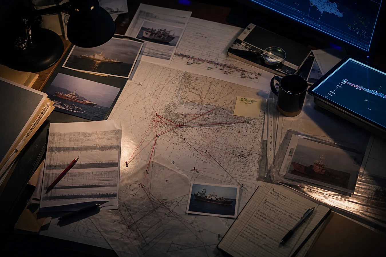
After a casualty, AIS can become part of the evidential timeline. Investigators may compare AIS against radar, voyage data recorder material, bridge audio, electronic chart history, engine logs, port records, weather, pilotage notes, tug movements, distress calls, photographs, satellite imagery and witness statements. The power is rarely one point on a track. The power is in the pattern: where a route changes, where a report goes quiet, where a destination looks stale, or where several sources disagree in the same minute.
Why AIS Can Be Wrong
AIS can look very precise, which is exactly why it needs care. Errors can include wrong MMSI, stale destination, wrong navigation status, incorrect vessel dimensions, poor antenna-offset data, faulty GNSS, faulty heading input, missing transmissions, out-of-range reception, satellite delay, public feed filtering, deliberate spoofing or a vessel lawfully turning AIS off for security reasons. A missing AIS target does not mean there is no vessel. A visible AIS target does not prove the full truth by itself.
AIS is not the truth. It is a broadcast. The truth begins when the broadcast is compared with everything else that survived.
Where AIS Is Going: VDES
AIS is increasingly discussed as part of the wider VHF Data Exchange System, or VDES. VDES is intended to expand maritime digital communications capacity by combining AIS, application specific messaging and higher-capacity terrestrial and satellite VHF data exchange. For readers, the useful idea is simple: AIS is the familiar automatic identity and position layer; VDES points towards a broader digital maritime communications architecture.
Why This Matters In The Collision Of Tides
In the series, the dangerous question is not only where a ship was. It is who decided what the record meant. AIS can support an official story, expose a missing minute, contradict a witness, or give an investigator the first small reason to doubt a clean explanation. A collision at sea creates urgency. AIS creates data. Power decides which parts of that data reach daylight.
Further Reading
- International Maritime Organization: AIS transponders and carriage requirements
- ITU-R M.1371-6: VHF AIS technical characteristics, approved 19 February 2026
- USCG Navigation Center: AIS overview
- USCG Navigation Center: AIS types
- UK MCA MGN 379: use and limits of electronic navigational aids
- European Maritime Safety Agency: SafeSeaNet