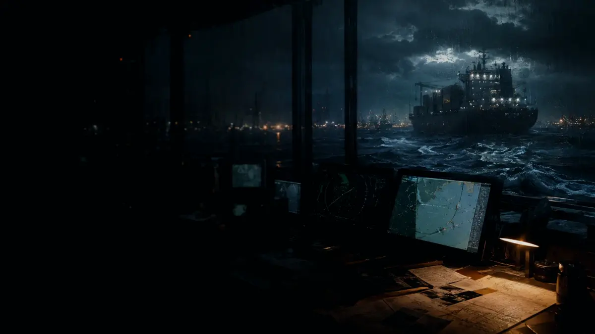
AIS course and speed data help assess target movement while remaining supplementary to radar and visual observations.
Dynamic information includes course over ground (COG) and speed over ground (SOG), supplied by connected position sensors when they calculate these values. On a suitable display, this motion data supports target tracking and calculations such as closest point of approach and time to closest point of approach. However, COG or SOG may be unavailable if the sensor fails, and poorly configured equipment can transmit incorrect information without built-in checks validating its truth.
Maritime guidance distinguishes AIS target course and speed over ground from the course and speed through the water relevant to applying the COLREG. Collision-avoidance decisions must be based primarily on systematic visual and/or radar observations rather than relying on AIS vectors as a substitute for lookout or all available means.