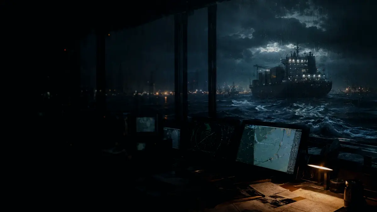
AIS is used to identify ships, track targets, support search and rescue, and exchange safety information.
As a cooperative VHF data system, equipped vessels and shore facilities automatically broadcast identity, position, course, speed, and navigational status. This continuous flow of data improves situational awareness by allowing mariners to monitor nearby traffic, serving as a vital supplement to radar and other traditional navigation aids.
A typical ship-to-ship AIS range at sea is stated by IMO as 20 to 30 nautical miles depending on antenna height, but terrain, stations and radio conditions prevent a guaranteed universal range. Reception varies significantly based on geography and equipment class.
Users must recognize that not all ships carry AIS, fitted units may be switched off in limited safety or security circumstances, and received data may be incomplete, unavailable or wrong. The system does not replace the need for visual lookout or adherence to collision regulations.